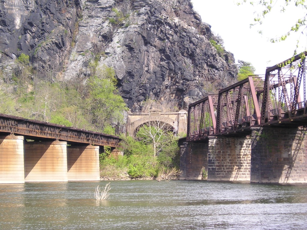
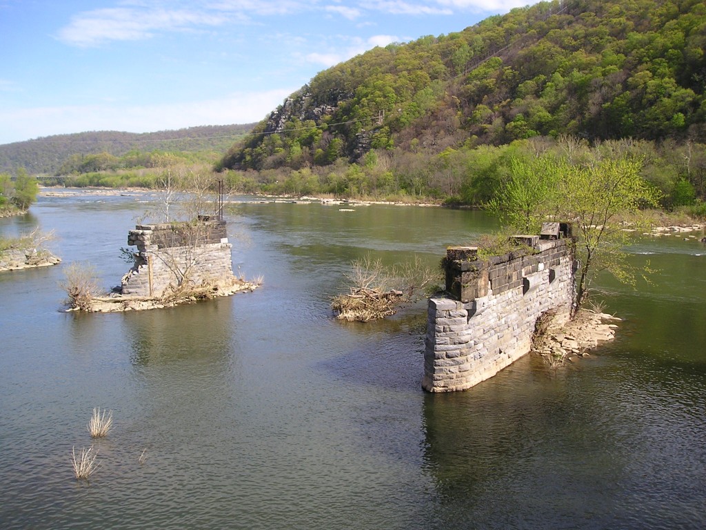
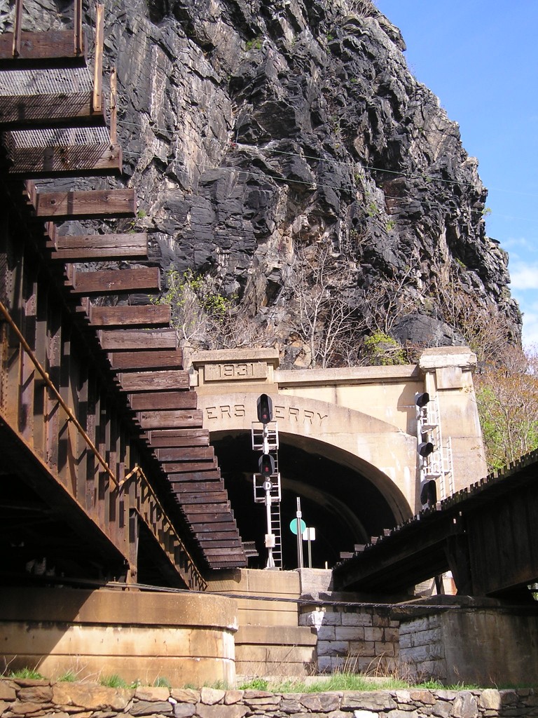
One of the most fun things to do during a visit to Harpers Ferry is to walk across the historic B & O Railroad bridge to the Maryland side. The National Parks Service constructed a pedestrian walkway next to the railroad tracks, and the walkway is actually a part of the Appalachian Trail, which cuts through Harpers Ferry (one of very few towns bisected by the Trail). The walk provides a panoramic view of the confluence of the Potomac and Shenandoah Rivers, the Lower Town section of Harpers Ferry, the cliffs of Maryland Heights, and fascinating ruins of an old highway bridge, now colonized by nesting birds of prey. Rafters and kayakers paddle their way around these crumbling support stanchions, mute testimony to the raw, brute power of rivers at flood stage.
While walking above the Potomac River, you get an eagle’s eye view of the remains of the Bollman highway bridge. This bridge was destroyed twice in a dozen years by floods – the first time in 1924, when the bridge lost three of its spans but was subsequently repaired, and again in 1936, when its destruction was so thorough that all plans of repairing it were abandoned.
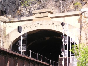
The railway tunnel through Maryland Heights was completed in 1931. Between forty and fifty CSX freight trains pass through this tunnel daily, in addition to Amtrak passenger trains and the MARC commuter train. Wouldn’t this make a great setting for some kind of action, suspense, or espionage movie? I could imagine Alfred Hitchcock doing some great things with this setting.
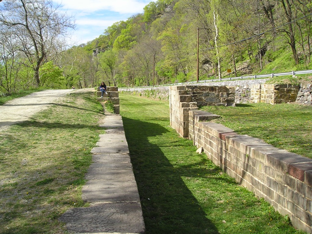
At the base of Maryland Heights, hikers will find the now waterless Chesapeake & Ohio (C & O) Canal and its towpath, which were constructed in 1833 and which were Harpers Ferry’s first transportation connection with Washington, DC, preceding the beginning of railway service by the Baltimore & Ohio Railroad by one year. Like just about everything else in the Harpers Ferry area, the C & O Canal was battered by floods. The flood of 1877 damaged the canal severely, and the flood of 1924 ended its operation for good. Today, hikers can follow the old canal for 184.5 miles, south from Cumberland, Maryland, to the Georgetown Visitors Center in Washington, DC.

